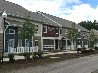
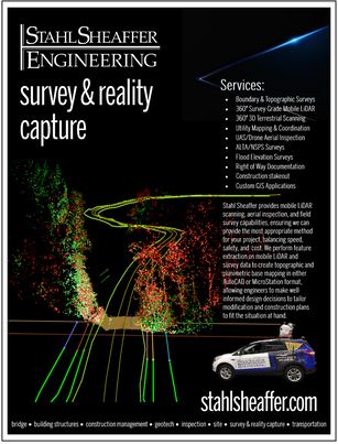
Survey & Reality Capture
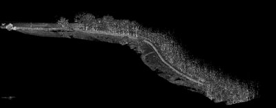
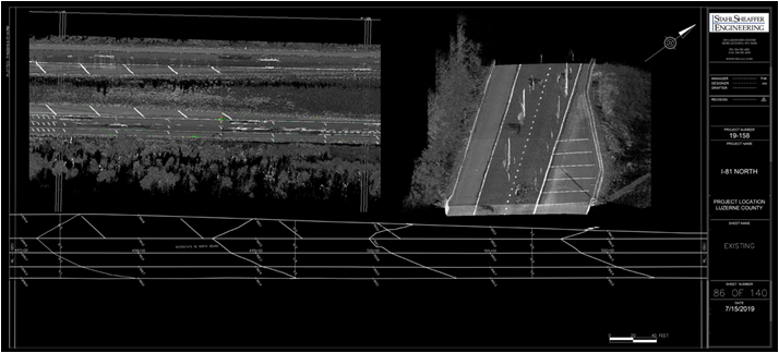
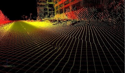
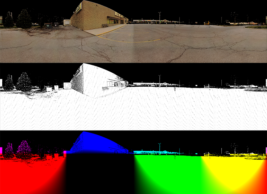
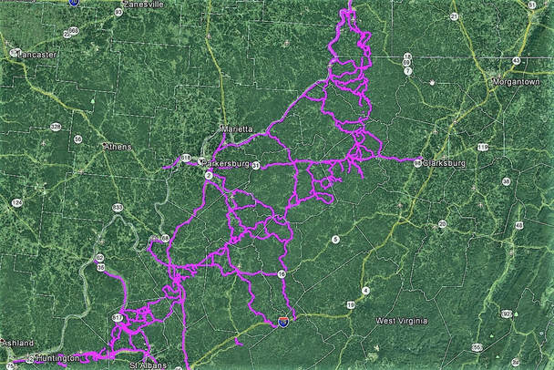
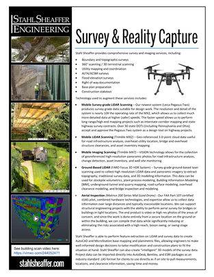
Stahl Sheaffer provides mobile LiDAR scanning, aerial inspection, and field survey capabilities, ensuring we can provide the most appropriate method for your project, balancing speed, safety, and cost. We perform feature extraction on LiDAR and survey data to create AutoCAD and Microstation base mapping and planimetric files, allowing engineers to make well-informed design decisions to tailor modification and construction plans to fit the situation at hand. Stahl Sheaffer can also create “intelligent” 3D models of the survey data. Project data can be imported directly into AutoDesk, Bentley, and ESRI software packages as an industry standard .LAS format for clients and used directly as if clients were on site to pull measurements, locations, and clearance information, saving time and money.
|
Services
| ||||||
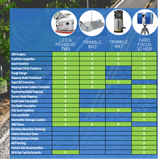
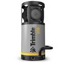
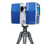
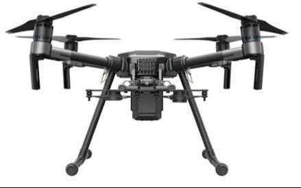
Reality Capture Technologies
|
Align reality capture tools with project applications.
|

Sample Scanning Videos
|
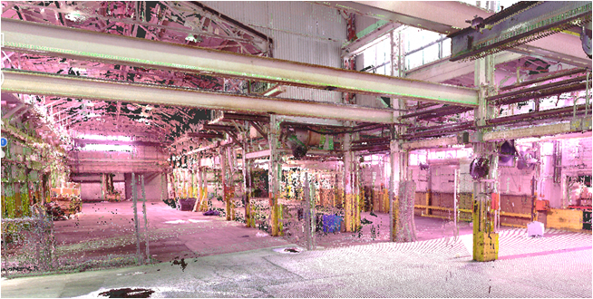
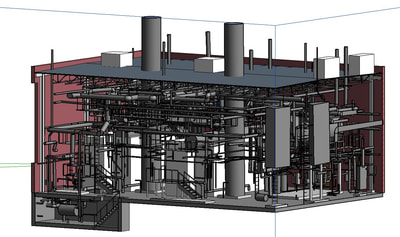
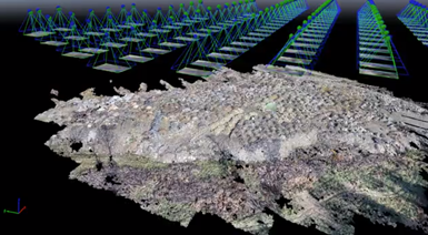
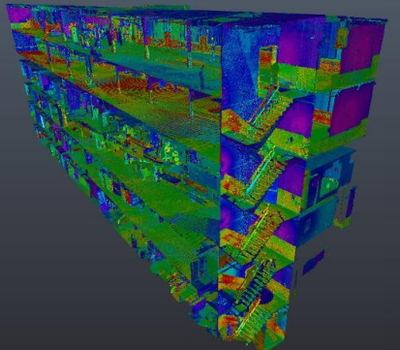
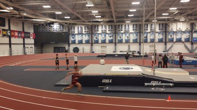
Steam plant scanned with terrestrial scanner
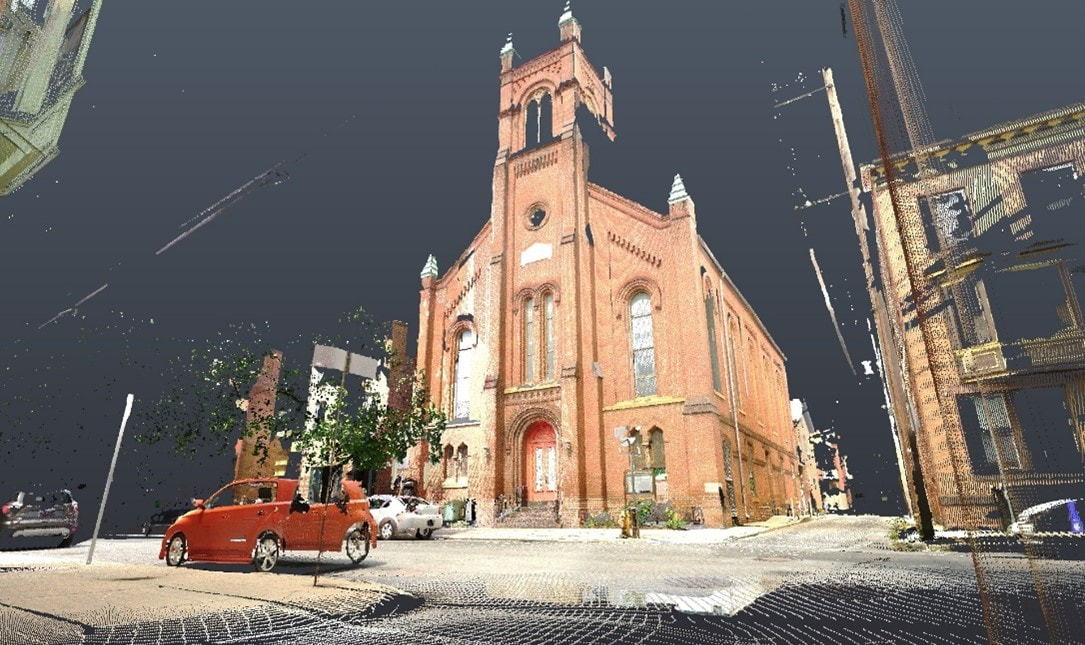
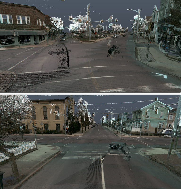
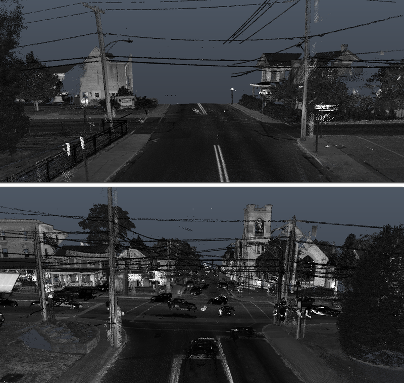
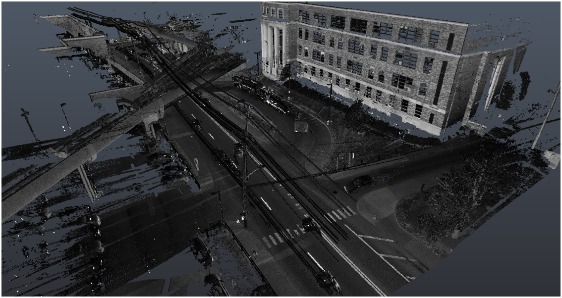
Milton, PA streetscapes scanned with mobile scanner
|
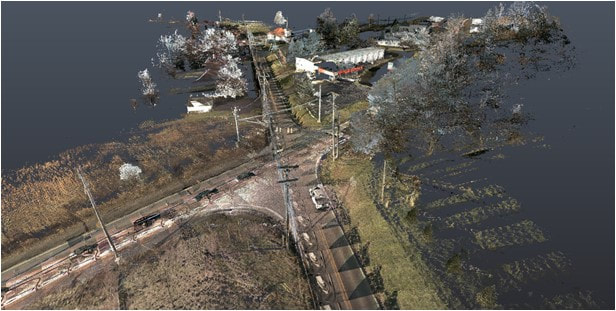
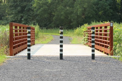
Bridge clearance scanned with mobile scanner
Sunbury, PA street scan with mobile scanner
|