Lock Haven Signals 3D Mobile LiDAR
PennDOT District 2-0, SR 150, Lock Haven, PA |
| ||
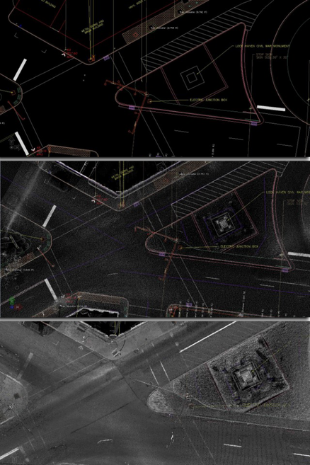
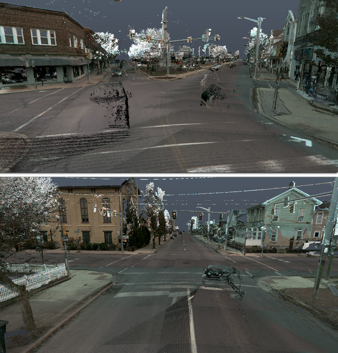
Stahl Sheaffer performed 3D mobile LiDAR scanning and acquired survey grade high-resolution point cloud data tied to survey control for the design of new traffic signals as a team member on this project, which encompassed 11 intersections and mapped portions of 13 roads.
Following data acquisition, Stahl Sheaffer used specialized mapping software to extract and map all visible features of note within 40 feet of the road right-of-way centerline up to and including the face of buildings. Following feature extraction, the high-resolution point cloud was used to generate a 3D digital terrain model of the ground surface for use during design.
Following data acquisition, Stahl Sheaffer used specialized mapping software to extract and map all visible features of note within 40 feet of the road right-of-way centerline up to and including the face of buildings. Following feature extraction, the high-resolution point cloud was used to generate a 3D digital terrain model of the ground surface for use during design.
|
|